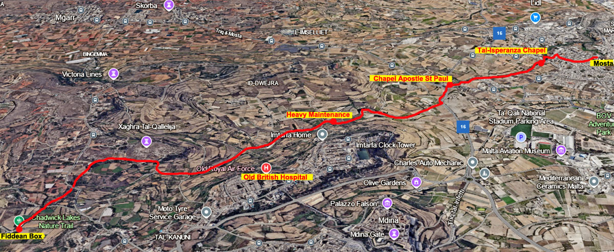
Chadwick Lakes lie along Malta's only freshwater stream big enough to be called a rivulet, providing a tranquil environment for people to enjoy. It consists of a complex system of well-planned small dams, draining into Speranza Valley, and then into the sea at Salina Bay.
The lakes are formed behind a number of dams constructed by Sir Osbert Chadwick, a British engineer, in the late 19th century. The valley provides farmers with water to irrigate their land. Wied il-Qliegħa is only full during the winter months. During this period, the lakes are abundant with life. Bio diversity includes several indigenous plants, insects, tadpoles/frogs and crustaceans.
Sir Osbert Chadwick (1844-1913) was a British practical engineer, who was deputed to Malta between 1883 and 1888, in order to coordinate a water supply system for the Maltese islands which during that period were facing problems related to water management. As an engineer, his main principle was that “the first duty of an engineer is to make a measurement; his second, to make a better one.” Chadwick commenced his studies to improve Malta’s water system in October 1883, by installing gauges to measure the daily discharge of water from springs and the surface run-off from the Wied Liemu catchment (which pours into Wied il-Qlejgħa). As a catchment for the surface run-off water during the winter rains, Chadwick proposed that small masonry dams should be constructed at suitable points in any ‘wied’ with an adequate catchment.
In 1884 he constructed an experimental dam in the Kleigħa Valley (Qlejgħa Valley), to intercept the run-off water from Wied Għemieri in addition to that from Wied L’Iemu. He revisited the island several times after until 1897, when he had the satisfaction that a large part of Malta had been provided with an efficient water supply. They are essentially a series of large ponds formed by dams, intended to hold water to allow it to percolate into groundwater aquifers. This valley is one of the few which holds a good amount of water for much of the year and is probably the closest it gets to a riparian woodland in Malta.
The site is at its best during spring migration, when it attracts migratory warblers, flycatchers, hirundines, varous subspecies of Western Yellow Wagtail, European Bee-eater, Golden Oriole etc. While the surrounding fields host Western Marsh Harrier, Lesser Kestrel and other birds of prey. The area is also enjoyable in late autumn and winter, with many common species around.
 |
 |
 |
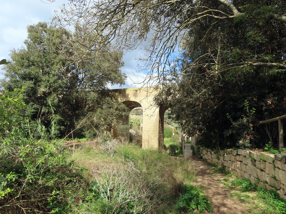 |
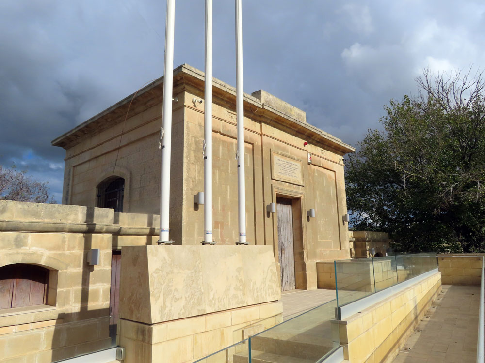
| The trail starts from outside Mdina | At the Fiddean Box building - some sort of water management | The you get onto the path along the lakes straight away | |
 |
 |
 |
 |
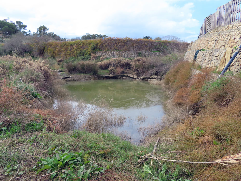
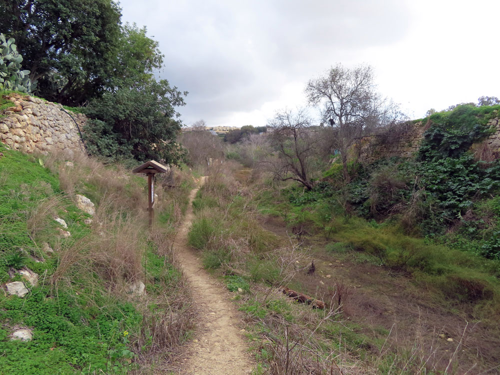
| Although the end of November there was still very little water | |||
 |
 |
 |
 |
 |
 |
 |
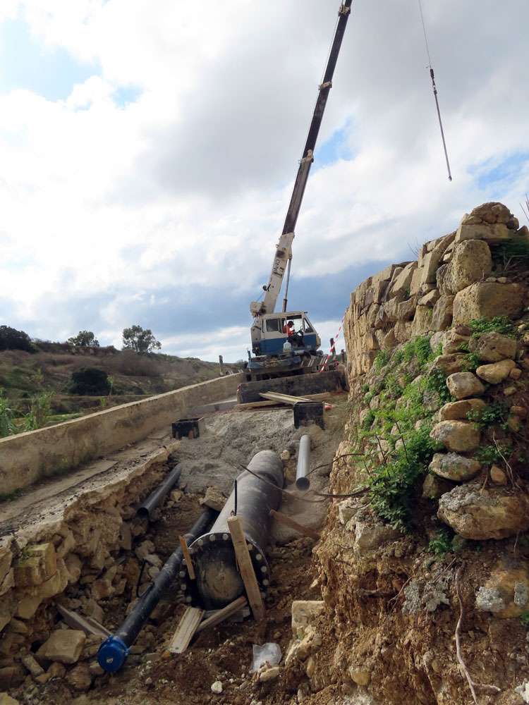 |
| The abandoned RAF Hospital | Here there had been a large part of the path torn away by floods. | It was proving to be a major job to restore the path | |
 |
 |
 |
 |
 |
 |
 |
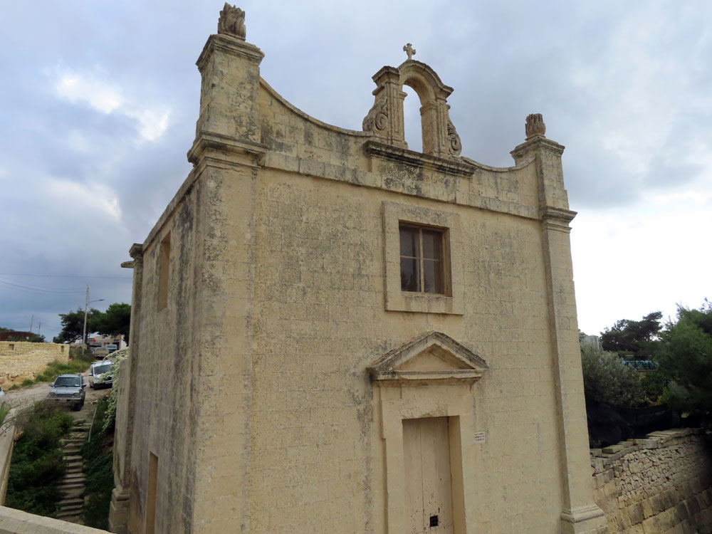 |
| Chapel of Apostle St Paul | |||
 |
 |
 |
 |
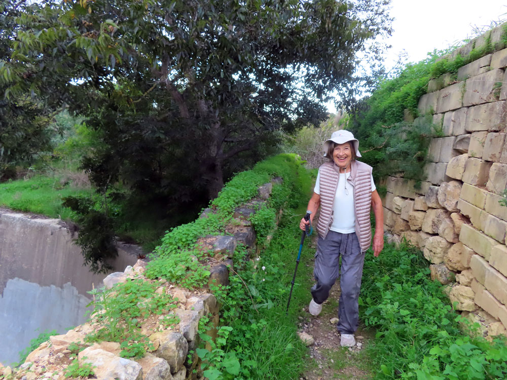
| We continued on here, but should have called it quits and headed | ..back into Mosta. Instead we walked along a very overgrown | ..path which was heavy going | |
 |
 |
 |
 |
| We eventually cleared the brambles | and got to the road at Isperanza Chapel | where we picked up another road into Mosta |
Another walk. A bit of Chadwick Lakes and a bit of Victoria Lines
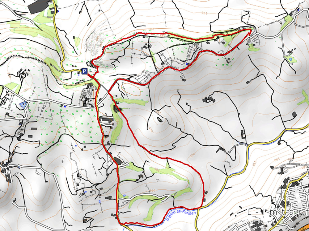
You can combine Chadwick Lakes and a bit of Victoria Lines with this walk of at just under five miles. About half its length on paved country roads. It takes you to two country chapels, a length of the Victoria Lines infantry wall, and a section of the Chadwick Lakes, a 19th century series of small dams to contain water for irrigation.