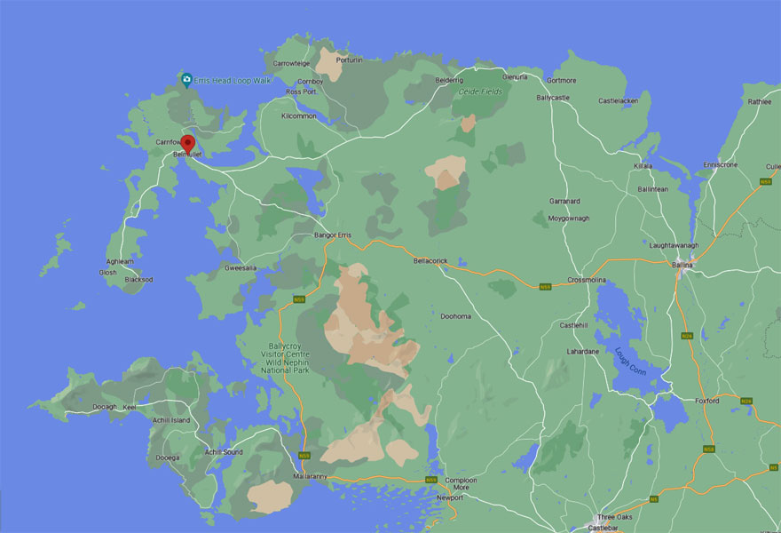
Holywood to Belmullet
We had a discussion about Paul's genealogy site and how he could use it to produce a photobook. I went to see the garage area that is a separate part of their property. We then set off for Belmullet. This was a 4.52 hour drive going via Enniskillen and Sligo. We tried to park in Enniskillen in order go to the bank and change outdated British paper notes, but parking was absolutely impossible.
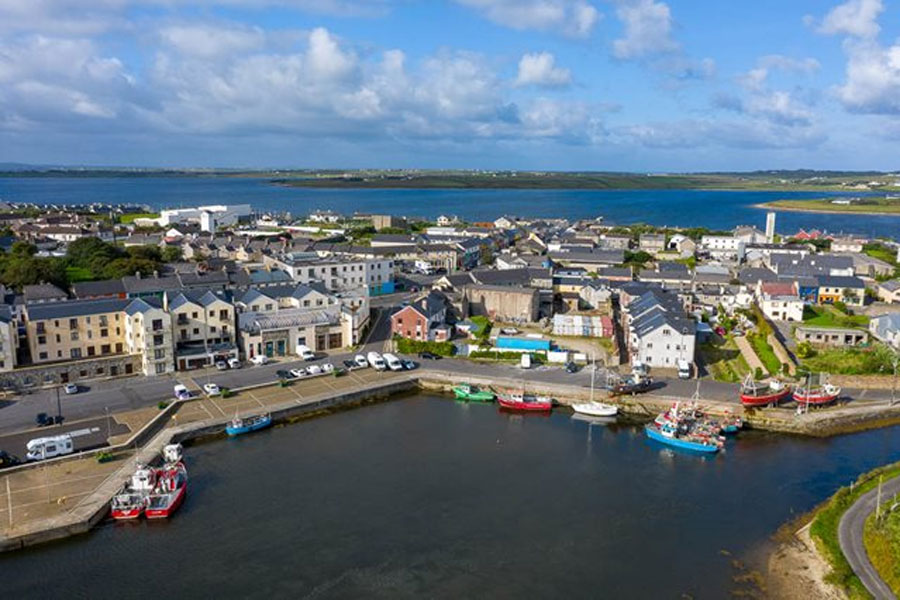
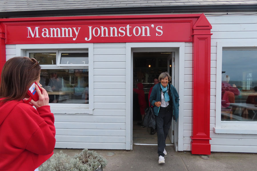
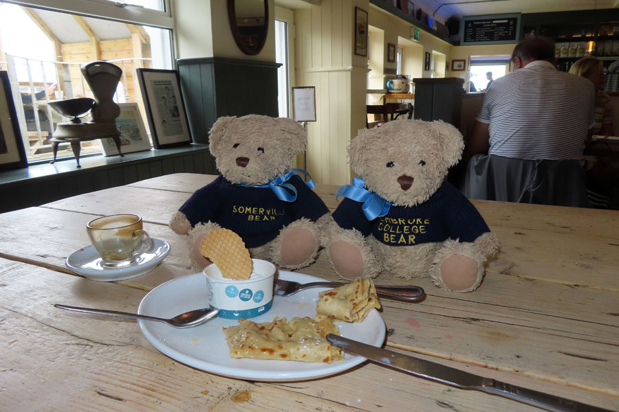
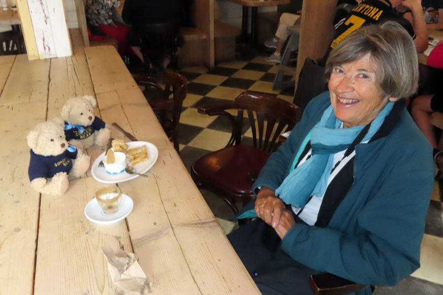
We bypassed Sligo and got to Strandhill, where we have a great coffee, and a delicious chocolate ice cream at Mammy Johnson. We then continued along the Wild Atlantic Way.
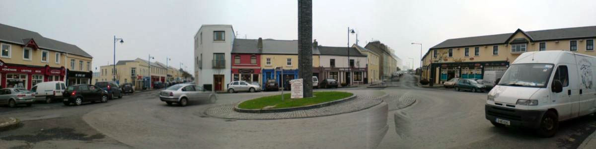
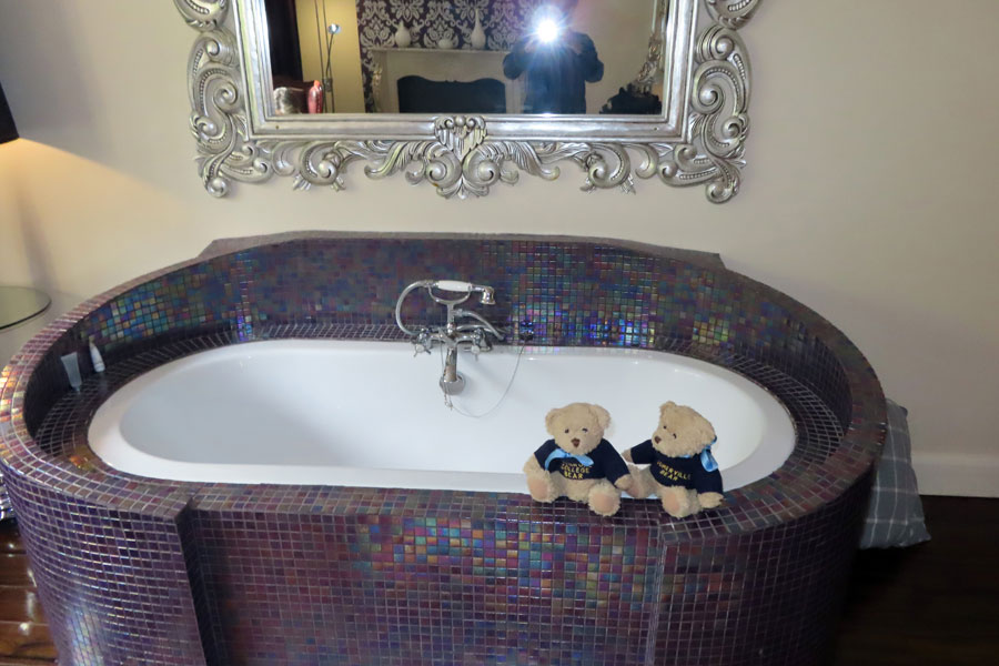
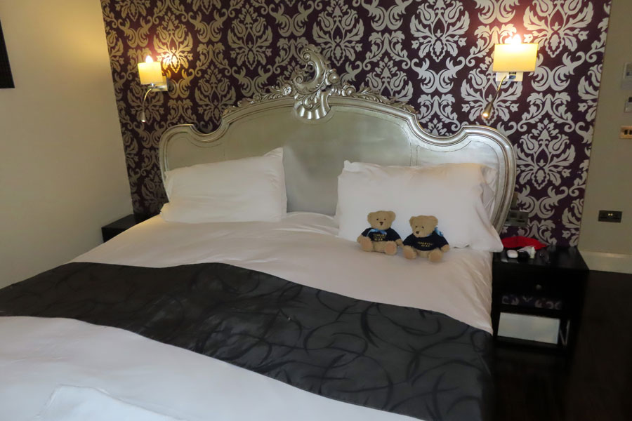
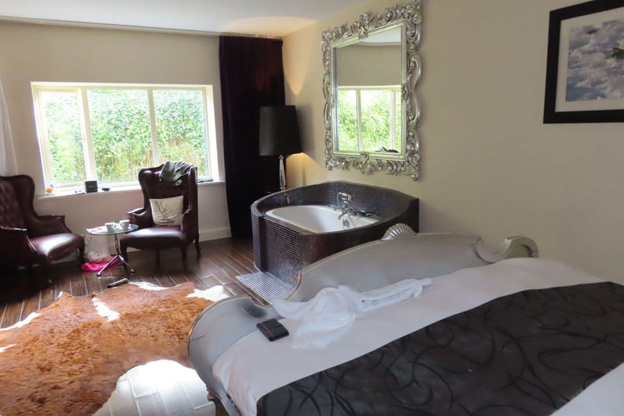
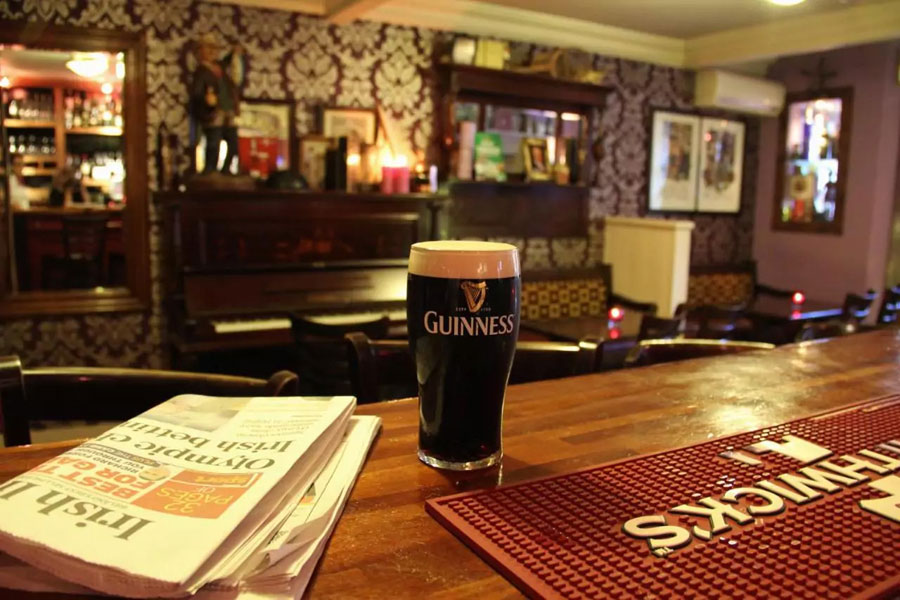
The weather was showery at times but there were lots of sunny intervals. found the Talbot Hotel easily in Belmullet and parked a little way away. The receptionist was not the best. The room, was pleasant, large, but did not have any view. It had a bath in the bedroom. I had a siesta then we had a snack before going out to explore the area. we went down to dinner at eight at the restaurant was very full. We enjoyed fish pasties and a fish and chips and a Banoffee pie between us. Once again, I was very tired by the time I got back to the room.
Belmullet
A stationery day at the Talbot Hotel . After an adequate breakfast, we headed off round coast but found that it is in a Gaeltacht area and all the signposts were in Gaelic, which was hardly very helpful for tourists. We followed the Wild Atlantic Way to many different coves and beaches, stopping here and there along the way till we reached Downpatrick Head where there were stacks offshore, and on westwards along the Wild Atlantic which we had followed about five years ago.
We also went into the visitors centre at the Peat Museum. We had two little picnics along the way and got back to the hotel by 5 pm and had some coffee and another snack. We then discovered that my mobile phone was refusing to charge and David spent a considerable time trying to ameliorate this situation. It looks as though I will take over his number for the time being and with that will be able to continue on WhatsApp . In the evening .we had a very pleasant seafood platter between us in a very noisy restaurant which was full of character. Then back to the room for another coffee.
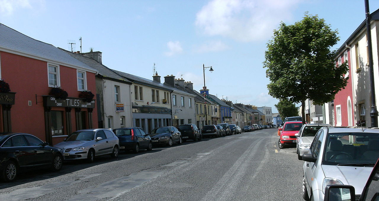
Belmullet (meaning 'mouth of the Mullet Peninsula' is a coastal Gaeltacht town with a population of 1,019. According to the 2016 census 50% of people in the town were able to speak Irish while only 4% spoke it on a daily basis. The area plays host in summer months to students enrolled in local Irish language summer schools.
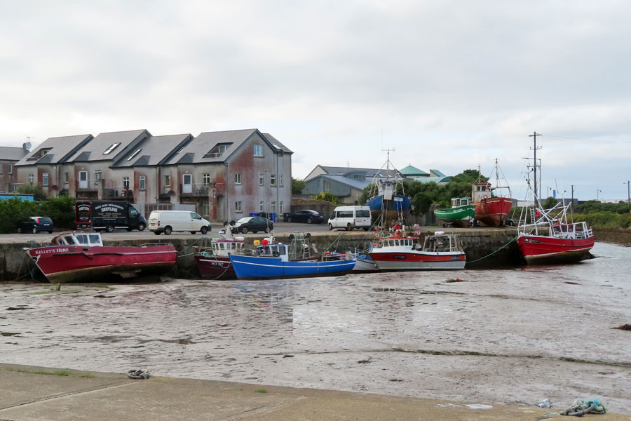
Belmullet has two bays, Black sod Bay and Broadhaven Bay, linked by Carter's Canal running through the town.
John Millington Synge's play The Playboy of the Western World was based on his experience of the Belmullet area. Synge also wrote a poem entitled "Danny" about a character who was murdered by a group of local men as he was on his way back into Belmullet from Bangor Erris.
Since being included on the Wild Atlantic Way, and after the wider Erris region was named 'Best Place to Go Wild in Ireland' by The Irish Times in 2014, the town has experienced an increase in tourism.
Talbot Hotel, Belmullet
To get a larger photo, please click on thumbnail below
 |
 |
 |
 |
 |
 |
 |
 |
Mammy Johnston's Ice Cream, Strandhill
To get a larger photo, please click on thumbnail below
 |
 |
 |
 |
Downpatrick Head
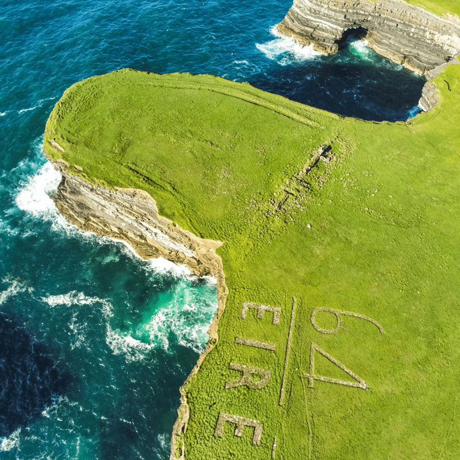
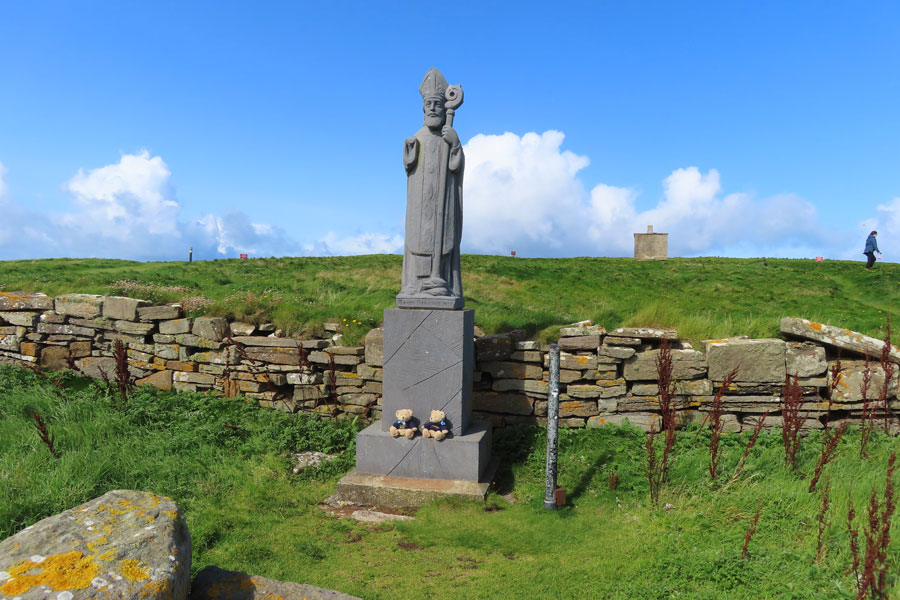
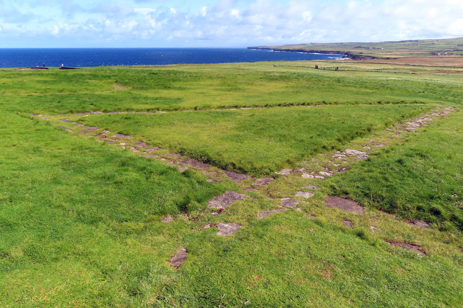
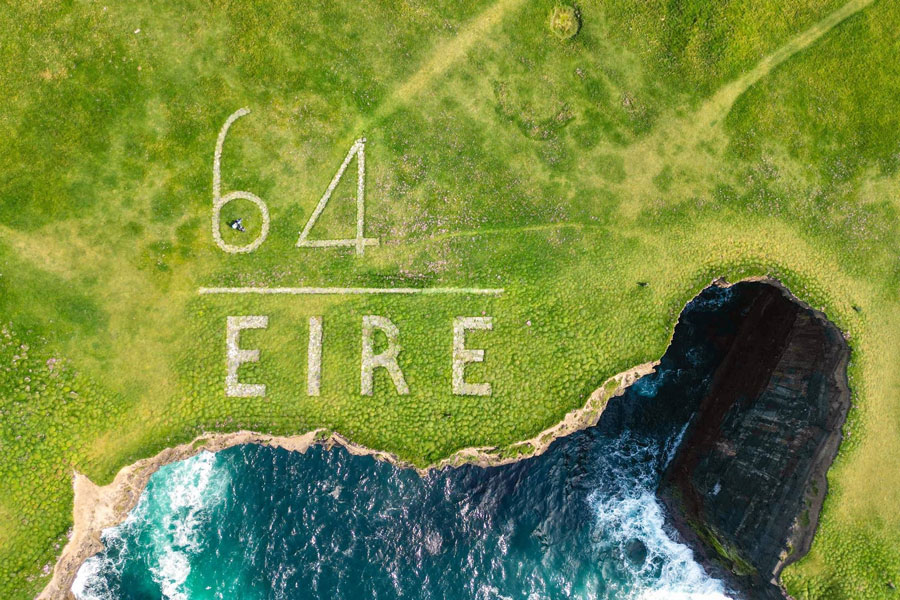
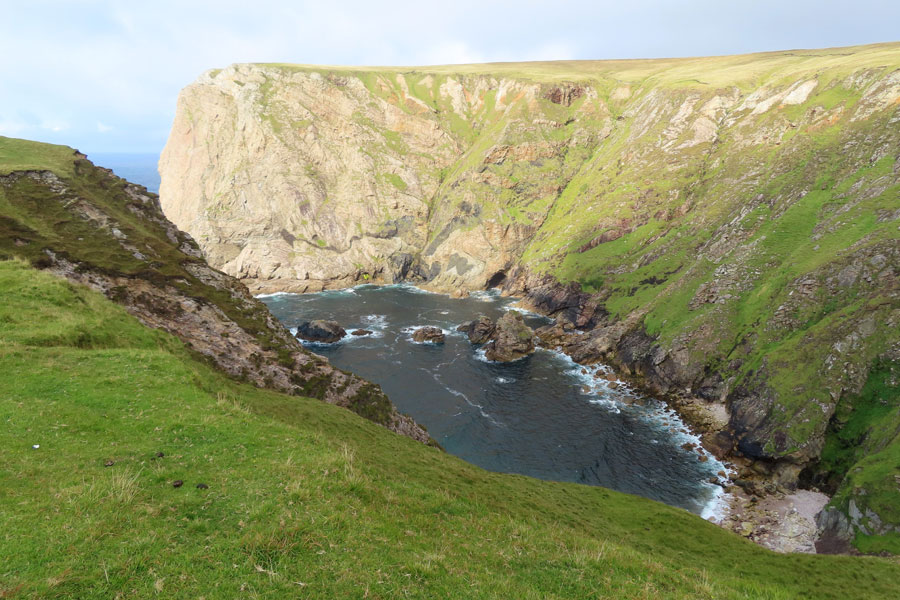
DownPatrick Head is a headland between Ballycastle village and the archaeological site of Ceide Fields. It commands breathtaking views on the Atlantic, the Staggs of Broadhaven to the west and high stunning cliffs to the east. Here Saint Patrick founded a church whose ruins can be seen today. There are also a statue of Saint Patrick erected in the early 1980's, which replaced a previous one erected in 1912 and a small stone building, used as a lookout post during the Second World War with its stone aerial markers: EIRE 64.
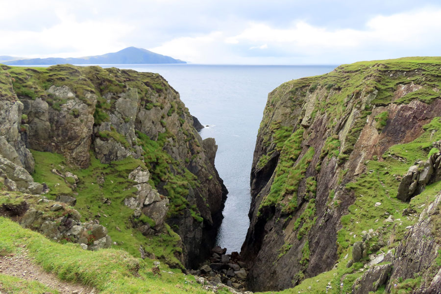
'Poll na Seantainne' is a spectacular blow-hole with subterranean channel to the sea. It is well known in the local history because during the 1798 rebellion 25 men, Irishmen and French soldiers, lost their lives taking refuge on the ledge at the bottom, but unfortunately tide came in before ladders could be replaced.
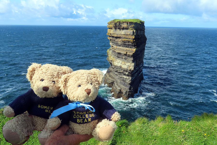
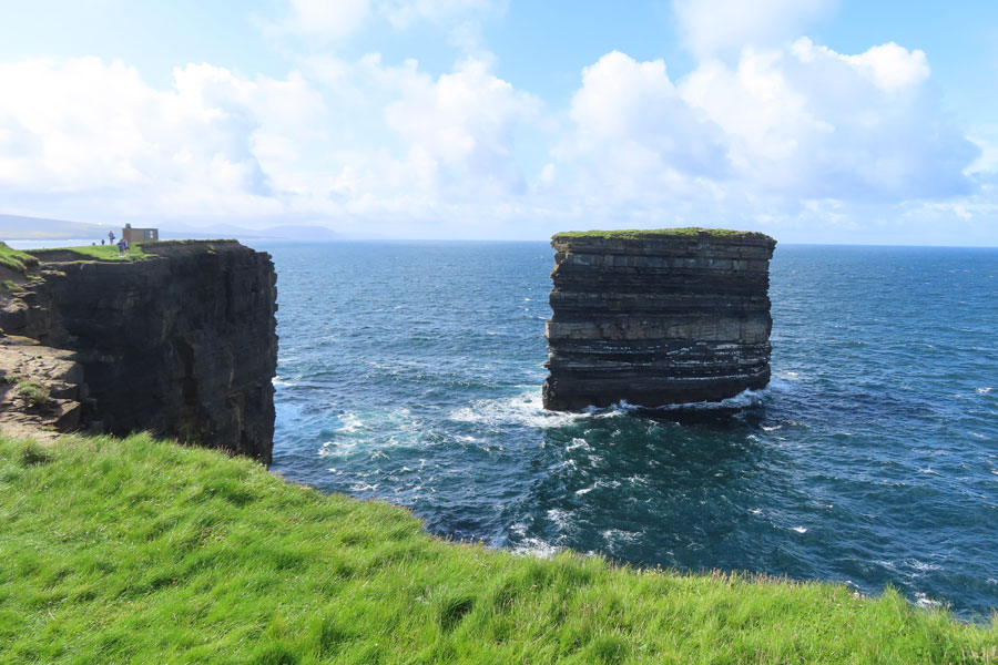
From DownPatrick Head the most fantastic view is of 'Dun Briste'. Dun Briste, (in English 'The Broken Fort'), is a sea stack close to the edge of the cliffs, which is 63 metres by 23 metres, 45 metres high and 228 metres from shore. In 1393 it was separated from the coast as a result of high seas and violent stormy weather. Old annuals said people who lived there were taken off using ships ropes.
On July 31st 1980, Dr. Seamus Caulfield, his father Patrick Caulfield and Martin Downes, Professor of Biology at Maynooth College, landed by helicopter on Dún Briste and discovered the ruins of two stone buildings and an interesting low opening which is supposed to allow sheep to pass from one field to another. Similar openings can be found in many places all around Mayo. They also examined the fragile plant life on the stack's top.
The marking "EIRE 64" was one of 83 Éire signs were dotted around the coast in WW2 to warn bombers they were flying over a neutral country. Fewer than 30 remain intact, with just a small handful in a restored or visible condition.
To get a larger photo, please click on thumbnail below
 |
 |
 |
 |
 |
 |
 |
 |