 |
 |
 |
 |
Our trip from Castlebar to Sligo was pleasant, without being scenic, as the route was mainly main road
Click on any of the thumbnails to get a bigger version of the picture
|
|
|
|
Mammy Johnston's Cafe, Strandhill
We tried Shells cafe for lunch, which we had been to some years ago, but having sat down, I quickly reached the conclusion that it had gone downhill, and we left. Eventually ending up a Mammy Johnston, which was just about next door to Shells.
We went through the Ice Cream Parlour to the cafe at the back of the building. One has to order at the counter, pay, and they bring the food to you. The system seems to work well. We enjoyed scones and smoothies. There was a tempting selection of cakes which I was too full (or too fat) to try. The cafe was well decorated, and I thought a more agreeable place to stop than Shells.
Click on any of the thumbnails to get a bigger version of the picture
 |
 |
 |
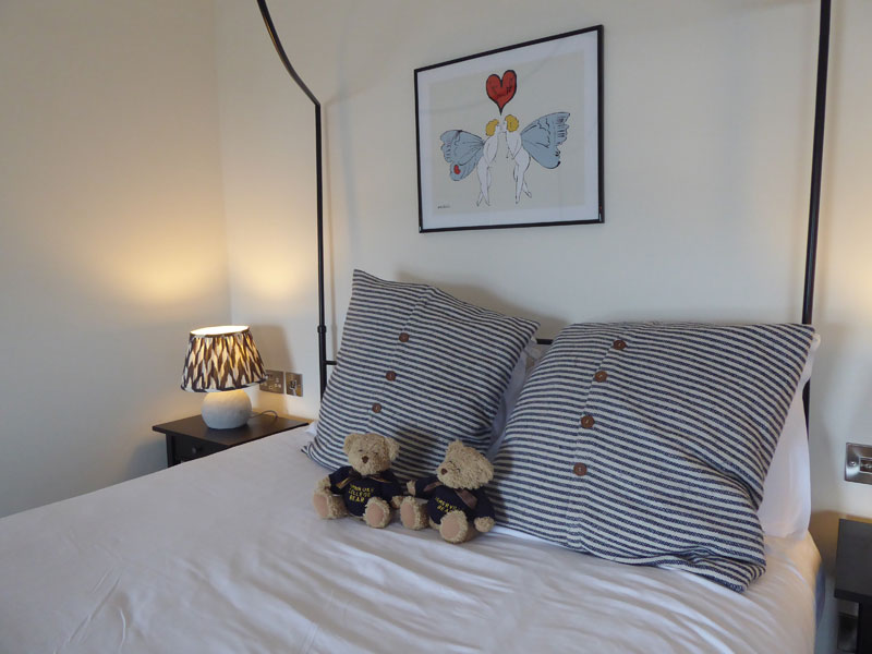
The Driftwood Hotel, Rosses Point
A quixotic hotel that we enjoyed. I was initially put off by the outside of the building with its peeling paint and thought that we must have come to the wrong hotel. But once you step inside you see why people like it. Fairly recently renovated with many interesting touches - for example our bath was in the bedroom and had a great view out of the window. The bedrooms and dining room are decorated in a minimalist way that works.
We had the central room in the front of the building, overlooking the sea. It even had a Nespresso machine
We ate in the restaurant both nights which I enjoyed (I might add that there are not many decent eating places within walking distance). One odd feature was that they did not include breakfast, so on principle we did not darken their restaurant for breakfast
Click on any of the thumbnails to get a bigger version of the picture
 |
 |
 |
 |
 |
 |
 |
 |
 |
 |
Rosses Point, Sligo
Rosses Point is a small, nowadays touristy, village at the entrance to Sligo Harbour from Sligo Bay with Oyster island being the long thin landmass notable when entering the village from Sligo town and Coney Island being the second and larger island that is encountered.
Rosses Point Beach is a popular seaside resort with views of Knocknarea to the south and Benbulben to the north. Views from the Discovery Point extend over Sligo Bay, Coney Island and are marked by views to Black Rock and the Metal Man, the 12 ft high guardian statue erected in 1821
The Metal Man was originally cast to stand on a tower where the Blackrock lighthouse now stands in the bay. In 1814 the original tower was swept away in a fierce gale. The merchants of Sligo, Ballina and Killala lobbied to have the tower replaced, which it was, two years later in 1816. Fearful that the same fate might befall the replacement tower, the decision was taken to commission the construction of a more substantial tower.
A number of ships entering the port have come to grief on the Perch Rock. This rock, which is clearly visible at lower points of the tide, lies between Rosses Point and Coney Island. Local Sligo shipowners lobbied for a change of plan to have the Metal Man placed upon this rock, and a proper lighthouse erected upon the Blackrock further out in the bay. Their lobbying was successful, and in 1821 Thomas Hamm of Ballina erected a 15 foot limestone base on top of which was placed the Metal Man.
He stands with right arm outstretched, pointing to the safe deep channel. Dressed in the uniform of a Royal Navy Petty Officer, he is an impressive monument to mariners. He stands 12 foot high and weighs seven tons. A navigational light is mounted on a pedestal in front of him, and in the darkness this light is kept to starboard when passing upriver. This light also acts as a leading light for ships in the bay. Having lined up with the lights on Oyster Island, they now know that their approach is correct.

Click on any of the thumbnails to get a bigger version of the picture
 |
 |
 |
 |
 |
 |
 |
 |
 |
 |
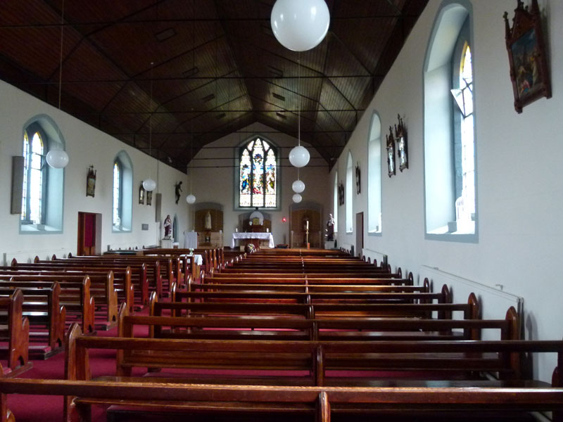
Boyle Abbey

A 12th cent. abbey built by the Cistercians . The monastery was laid out according to the usual Cistercian plan, a church on the north side of a roughly rectangular cloister area, with a chapter house for meetings of the monks on a second side, a kitchen and a refectory on the third, and probably store houses and dormitory above on the fourth.
But only small parts of the cloister survive, because it was turned into a barracks by the Elizabethans in 1592, and the Cromwellians who besieged it in 1645. This, along with possible later stone quarrying, ensured that little survives. Despite this, the ruins are impressive
The Conservation Project was completed in 2011. A full programme of archaeology was carried out in tandem with the conservation works and these excavations unearthed the foundation line of the original north aisle structure. As part of the rebuilding, some new dressed stone was provided and damaged stone repaired as required. It was decided to recreate the north aisle in timber and glass which has now become an exhibition area within the abbey.
Click on any of the thumbnails to get a bigger version of the picture
 |
 |
 |
 |
 |
Arigna Coal Mine

The Arigna Coal Mine was possible because the shallow deposits meant that miners could just walk on from the hillside, rather than having to use lifts. Seams of coal were worked by miners lying on their sides to shovel the coal out.
Mining lasted for some 400 years until 1990. The coal was used for iron works and later for a power plant. With the demolition of the ESB Generating Station chimney, the era of collieries in the area ended.
Because of the thin coal seams, a special type of mining was practiced at Arigna. A main tunnel was driven from which branched a series of secondary tunnels every 5–6 meters, where the coal was mined. The secondary tunnels followed the seams and were very low. The miners typically worked lying on their back to cut the coal. These 'Cutters' also prepared the mine for the next day's work, and extended the roads using explosives. 'Drawers' filled hutches (tubs) and pushed them out to the main underground mine road. Here the hutches were linked up to an endless-rope haulage system and were pulled to the outside. 'Proppers' used timber pillars to prop up the mine roof.
Arigna coal mines closed in July 1990,and not long afterwards the Arigna Mining Experience interpretative centre opened to create a few sustainable jobs in the area and to show visitors what life was like for generations of coal miners on the Leitrim-Roscommon border.
And it was to the Interpretive Centre that we arrived. We donned hard hats, met our ex-miner guide, and for nearly an hour were guided round the underground workings. It was a fascinating tour, and, as we had the advantage of new tunnels that we could stand up in, we were able to see the small seams that the miners had had to work - only about 18" high
My only regret was that the new cafe was not yet open!
Click on any of the thumbnails to get a bigger version of the picture
 |
 |
 |
 |
 |
 |
 |
 |
 |
 |
Ballinafad
A return visit to revisit Chris' old "ancestral home" - the Barracks, where I thought that Private Parchment would have been based. Stopping outside the house called The Barracks, I spotted someone in the garden. On striking up a conversation, he turned out to be the owner, one Kevin Barry, an author. He was keen to show us round, and we enjoyed his guided tour. If he is correct, then this building only dates from 1840, and would not have been the one which housed the Essex Militia some half century earlier.
Since our last visit Ballinafad has lost its Post Office (government withdrawal of subsidy). And the Priest is now from the Philippines instead of from Poland
Click on any of the thumbnails to get a bigger version of the picture
 |
 |
 |
And from Sligo, it was on north along the Wild Atlantic Way to Donegal